
 7 hours ago
2
7 hours ago
2

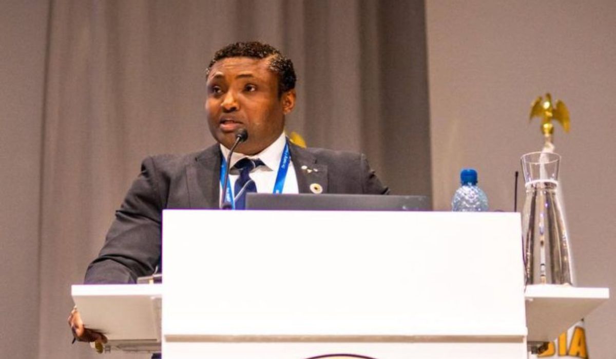
The Hydrographer of the Federation and CEO of the National Hydrographic Agency of Nigeria, Rear Admiral Ayo Olugbode and his team have concluded extensive redrawing of Nigeria’s maritime boundary.
The project was commissioned by the Cross River State government to enable the take off of the Bakassi deep seaport project.
The Hydrographer formally presented the Hydrographic, Geotechnical, geophysical report and New Navigational Chart for the proposed Bakassi Deep Seaport project to the governor.
Rear Admiral Olugbode described the report as the culmination of an intensive multi-year effort, beginning with a formal flag-off on December 21, 2024, and followed by rigorous data acquisition starting January 6, 2025.
The survey, he said, covered hydrographic, geophysical, and geotechnical dimensions, all aimed at ensuring safety, precision, and international compliance.
“This is more than just a technical report. It is the bedrock for constructing and operating the Bakassi Deep Seaport.
“It provides essential data for engineering design, dredging, breakwater construction, and navigation safety.”
He added that the data would boost investor confidence, enable effective ocean governance, and contribute to global initiatives such as Seabed 2030, a project that aims to map the entire seafloor of the world by 2030.
Olugbode commended the state government for its unwavering support towards the hydrographic project.
Receiving the charts at a formal ceremony held in the State Executive Council Chamber, Governor Bassey Otu
described the event as a “historic milestone”.
He said it will not only affirm Nigeria’s maritime boundaries but also sets the stage for an economic revolution across the Gulf of Guinea.
“This is truly a historic day, not just for Cross River State but for the entire country,” Governor Otu said. “What we have achieved today replaces charts dating back to 1903 and settles long-standing debates about Cross River’s status as a littoral state. This chart clearly affirms our coastal status.”
Otu emphasized that the updated maritime chart now aligns with S-100 international standards, positioning the state for deepwater commerce and international shipping operations.
“When we connect this with the ongoing coastal highway, we’re looking at a completely different city,” he said. “The economic potential is enormous.”
“We picked up this dream where the former governor, Professor Ben Ayade left off.
“Public funds had been committed, and we could not allow it to die. Today is another giant step toward its full realization,” he said.
Otu disclosed that the project now awaits a final seal of approval from the Federal Executive Council (FEC).
Naval team concludes deep sea mapping, presents chart to Gov Otu


.png)


 English (US) ·